New detailed online maps covering post-War Edinburgh and London (1940s-1960s)
We have recently made freely available our earliest editions of Ordnance Survey National Grid maps at 1:1,250 scale covering Edinburgh and London. As these maps are the earliest Ordnance Survey maps to show house numbers comprehensively, they are particularly useful for genealogical research.
These were Ordnance Survey’s most detailed maps in the 20th century, and they show nearly all permanent features of over 1 square metre in size. They show excellent detail of commercial and residential buildings, railway stations, docks, factories and parks, as well as house names and numbers.
The maps can be viewed as a georeferenced overlay and as a dual-map / side-by-side viewer, allowing direct comparison with modern Google or Bing maps.
This mapping layer will expand geographically over the next year as we continue to scan more OS National Grid post-War mapping.
Home page : Ordnance Survey National Grid maps, 1940s-1960s:
http://maps.nls.uk/os/national-grid/index.html
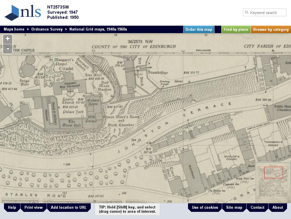
Edinburgh Castle, 1947

Bomb damage area, St Paul's, London
(With thanks to Chris Fleet at the NLS)
Chris
Now available for UK research is the new second edition of the best selling Tracing Your Family History on the Internet: A Guide for Family Historians, whilst my new book British and Irish Newspapers is also now out. And please consider purchasing the great new version of Caledonia by The Libations at 79p via www.caledonia2014.com - all profits go to help fund Scottish foodbanks
No comments:
Post a Comment